Precision forestry: easier and more accessible with UAV science
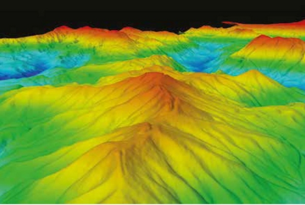
The use of unmanned aerial vehicles (UAVs) and remote sensing in forestry management is helping to usher in a new era of precision forest management. Scion science is helping to realise the potential benefits these tools can provide, and make them more accessible to forest managers than ever before.
As certified operators (Part 102) under the Civil Aviation Act, our UAV team is able to undertake more complex operations leading to new developments over the wide spectrum of research areas we are pursuing. The work has included a project to identify new ways that industry can use UAV data including applications as varied as post planting survival assessment, mapping wind damage and post-harvest residue assessments.
The UAV research programme has been working with forestry technical managers, like Aaron Gunn at Port Blakely NZ, and other partners to undertake field trials of the work.
Aaron, who is also on the Growing Confidence in Forestry’s Future technical steering team for this research, says, “The remote sensing and UAV research carried out by Scion in our Matakana estate is cutting-edge and is helping to provide a new perspective on the management of our forests. The innovative new tools and techniques they are developing will provide real value to the industry for years to come.”
This year, our research team has developed methods for monitoring disease expression in plantation trees. Through carefully designed trials we have defined suitable data collection hardware and procedures using very high resolution multi-spectral imagery. Now, for the first time, low-cost and highly flexible methods are available for the early detection of needle diseases for planted forests. This enables forest managers to undertake targeted management, reducing disease spread and increasing forest productivity.
Scion has worked with the Ministry for Primary Industries to develop new methods to map tree species in urban areas using UAV imagery. This work will allow better surveillance to protect New Zealand’s forests from biosecurity incursions.
The remote sensing and UAV research carried out by Scion in our Matakana estate is cutting-edge and is helping to provide a new perspective on the management of our forests. The innovative new tools and techniques they are developing will provide real value to the industry for years to come. - Aaron Gunn, Port Blakely NZ
Weed (gorse and broom) identification is now also a possibility thanks to Scion’s data analysis undertaken in five and eight-year-old Pinus radiata stands. In this research UAV data was used to validate predictions made from satellite imagery making use of both technologies for better forest management.
Fire behaviour modelling has also benefitted from our multispectral and LiDAR data, which has been used in a fire prediction model, providing information around fire behavior in controlled burns.
Our work has harnessed the high resolution spatial and temporal data to provide a host of new services to forest growers, including pre-harvest assessments of forest volume, micro-site soil classification, data for tree stocking and restocking based on individual tree health, and animal health monitoring.
Collaborators: Ministry for Primary Industries, University of Tasmania, Imagine UAV, AsureQuality
Investment: Forest Growers Levy Trust, NZ Farm Forestry Association, AGMARDT, Neil Barr Foundation, Strategic Science Investment Funding