Voxel-based metrics prove more accurate for forest inventory
Using voxel-based analysis of aerial lidar is a promising new development in remote sensing.
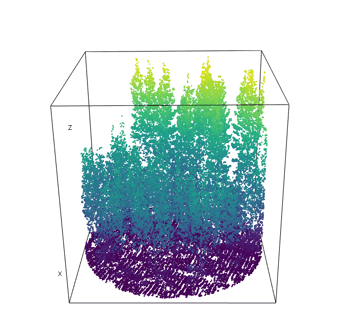
In the past, high-density lidar has largely been restricted to terrestrial laser scanners. Now, high-density scanners are being mounted on helicopters and UAVs flying close to the tops of forests to provide very fine-scale imagery of trees. This kind of scanning generates very dense point clouds that demand new methods of analysis to extract meaning. One option is to borrow an approach from terrestrial lidar analysis to simplify the data by breaking the information into small parcels called voxels.
What is a voxel?
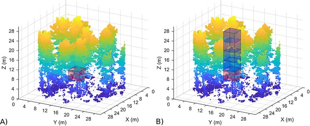
Voxels can be thought of as 3D pixels or cubes that are formed around a 3D point cloud. The positional information of each lidar point determines which voxel that point falls within, and the metrics describing the 3D data are computed from the voxels rather than the individual points.
For forest inventory, we take the lidar point cloud, and place it into voxels of e.g. 1 x 1 x 1 m size. The distribution of lidar points (and their properties) within each 1 m cube can be used to characterise the forest in new ways that captures information not available from more standard metrics. We then use these metrics to model forest inventory attributes.
Trialling voxel-based metrics
Remote sensing scientist Dr Grant Pearse worked with Forest Wood Products Australia (FWPA) to test voxel-based metrics for forest inventory. FWPA provided high density lidar scans of 73 plots from two radiata pine forests in New South Wales.
Grant carried out modelling using standard and voxel-based metrics to create predictions for standard forest attributes: top height, basal area, stand density and volume.
A comparison of the results revealed that models using voxel-based metrics outperformed models using standard metrics – suggesting these metrics captured more information about the forest plots. Interestingly, the voxel-based metrics performed well even at lower pulse densities e.g. 5 ppm, suggesting it was the metrics not the density that drove improved predictions.
Here’s what we found
Grant says, “Our results show that using voxel-based metrics will give forest owners a better picture of how their forests are growing. And thanks to new capabilities added to the widely-used LAStools lidar software suite, anyone can try voxel-based metrics on their lidar data.”
“It’s a promising start, but our next challenge is to work with our industry partners to roll out voxel-based metrics on a large forest estate and better understand what the metrics are capturing.”
For further information on voxel-based metrics contact